Spatial Analysis of Carbon Stock Distribution
The spatial analysis of carbon stock distribution is essential for understanding how carbon is stored across different landscapes, aiding in climate change mitigation and sustainable land management. By utilizing geospatial techniques such as remote sensing and GIS, this analysis identifies variations in carbon storage within forests, wetlands, and urban areas. It helps policymakers and researchers assess ecosystem health, track carbon sequestration trends, and Development effective conservation strategies.
Get startedCarbon Stock
Carbon stock refers to the amount of carbon stored in natural reservoirs such as forests, soils, wetlands, and oceans. It plays a crucial role in regulating the Earth's carbon cycle and mitigating climate change by capturing and storing atmospheric carbon dioxide (CO2). Understanding carbon stock helps in assessing ecosystem health, designing conservation strategies, and implementing carbon offset initiatives for sustainable environmental management.
Get started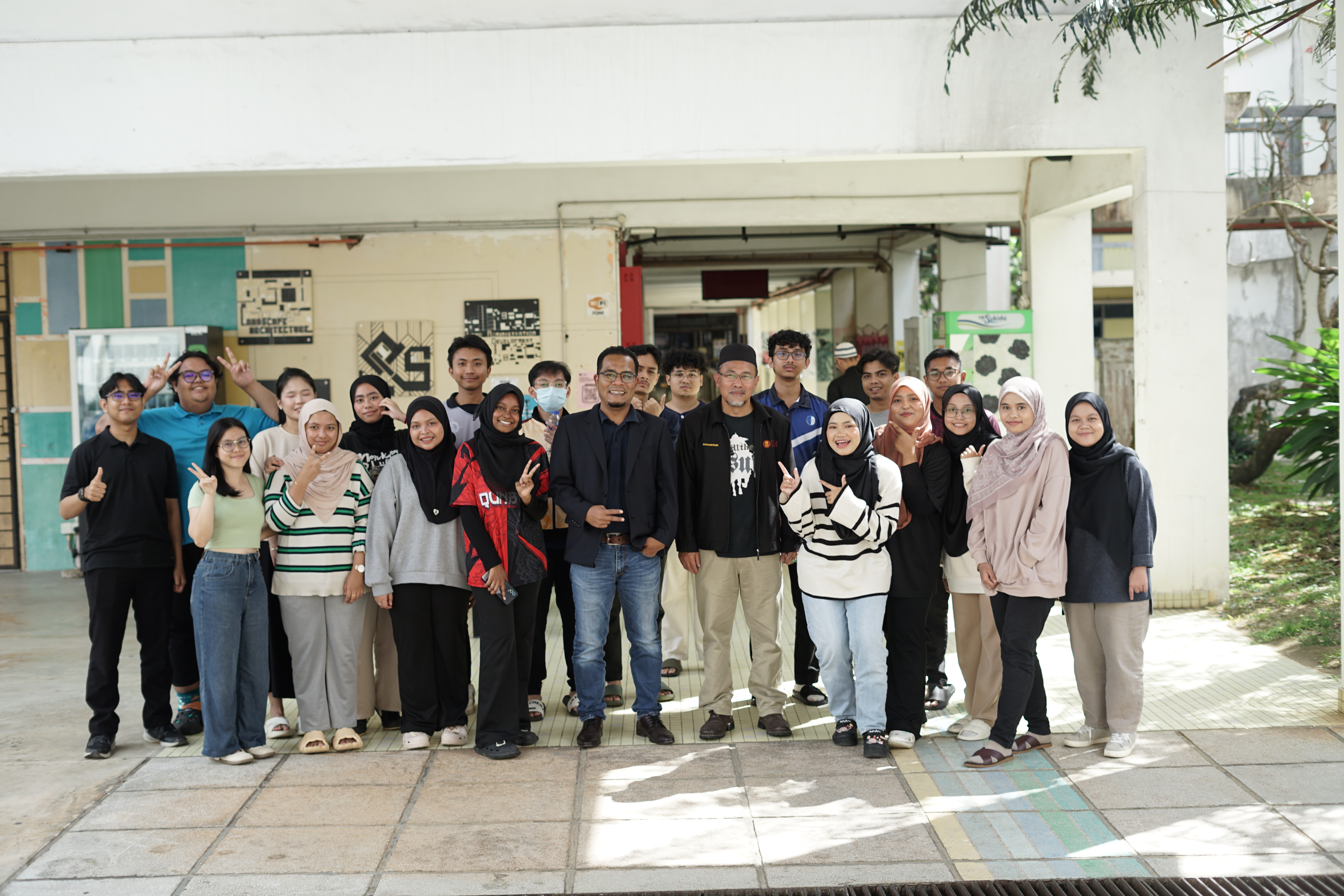
Our video
Welcome to our video diary documenting every moment of GIS Training Camp II, where we explore the UTM Recreational Forest, engage in hands-on fieldwork, and dive deep into spatial analysis of carbon stock distribution. This video captures our collaborative efforts, technical challenges, and breakthrough moments as we apply advanced GIS, remote sensing, and data collection techniques to support sustainable forest management. Enjoy the journey and witness our passion for environmental conservation and geospatial innovation!
GIS TRAINING CAMP II
Course Synopsis
GIS Training Camp II (SBEG3542) is a practical and immersive course designed to enhance students' technical knowledge and skills in Geographic Information Systems (GIS) through hands-on experience. The course emphasizes database development, GIS application customization, and spatial analysis. Students collaborate in small teams under academic supervision to assess end-user requirements, develop innovative solutions, and conduct feasibility studies covering social, technological, economic, and environmental aspects. By the end of the course, students will have advanced proficiency in GIS software, mastered database and application development tools, and gained essential skills in project management, teamwork, and effective communication.